


 154 / 186

Urban Transport in the OIC Megacities
144
1974, 1980, 1987, 1988, 1998 and 2004, due to overflowing of surrounding rivers. Of these, the 1988,
1998 and 2004 floods were the most damaging (Alam and Rabbani, 2007).
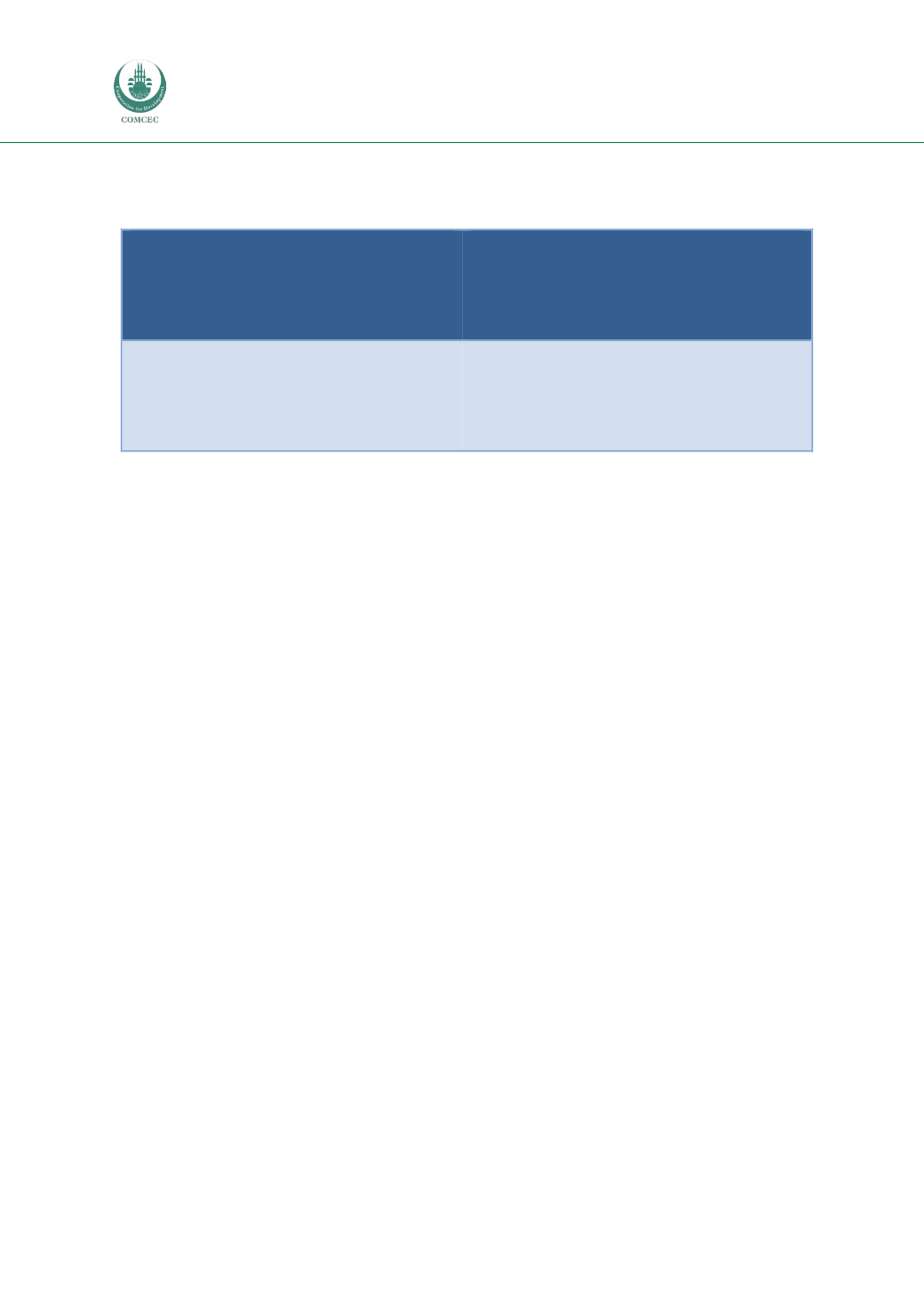
Table 12: SWOT Table Dhaka
Strengths
High densities
Availability of financial support from
international organizations
Weaknesses
Extremely large mismatch of supply and
demand
Air pollution
Chronic congestion
Opportunities
Social cohesion
Political stability
Political willingness to make transport more
sustainable
Threats
Lack of urban management
Threats of flooding
Rapidly increasing population
Slow development of infrastructure
Informal transport and housing sectors
5.5.
Tehran
5.5.1.
Urban background
Tehran is the biggest and most populous city in Iran. As explained earlier, although its metropolitan
area has a population of only 7.5 million, the population of the city during the day can reach up to 12
million as commuters arrive from the heavily urbanised wider region of Tehran. The city covers an
area of nearly 800 square kilometres. Tehran had a population of 0.7 million in 1941 and since then it
was heavily urbanised and expanded, becoming one of the major megacities in the Middle East region
(ITDP, 2011; Shoar, 2008; Allen, 2013).
Over the past two decades, the metropolitan region of Tehran has been growing at a rate of about
one% per year. Along with the challenge of growing transport demand the city was faced with the
general public’s rising expectations in terms of quality of life. The authorities of Tehran have examined
and implemented a number of sustainable transport solutions and made a significant improvement
that was internationally recognised. Tehran was nominated for the Sustainable Transport Award by
the Institute for Transportation & Development Policy. The city has developed a comprehensive public
transport policy, which was embedded into its vision of improving quality of life by having integrated,
available, safe, easy, comfortable and clean transportation system, delivered within limited resources
(ITDP, 2011; Shoar, 2008; Allen, 2013).
5.5.2.
Transport network and land use planning
Tehran municipality is currently organized as a monocentric city with a major CBD (districts 6, 7, 11
and 12) where most commercial activities are concentrated. The CBD is surrounded by several
residential areas. Most of the future urban development is expected to take place in the north and
eastern parts of the city with lower levels of development in the south of the city (districts 21 and 22).
The Greater Tehran region includes several small and medium sized surrounding cities (Karaj,
Varamin, Eslamshahr, Shahrian), whose populations have increased without an equivalent increase in
the number of jobs, which remain concentrated in Tehran. This generates large numbers of
commuting trips both within the city also to and from the smaller surrounding cities (Allen, 2013).
Tehran’s planning history shows early stages in which new infrastructure was designed and
developed by the government as part of its strategy for modernisation and growth management. The
intensity of speculative development after the SecondWorldWar met the demands of the exponential
growth of the city’s population. This, however, needed to be controlled and regulated through a
planning process, which produced Tehran’s comprehensive plan of 1968. Within a decade, the
revolution interrupted its implementation, and growth could only be managed through piecemeal